Over a thousand people are still without power after a heavy storm tore through the South Burnett region last night.
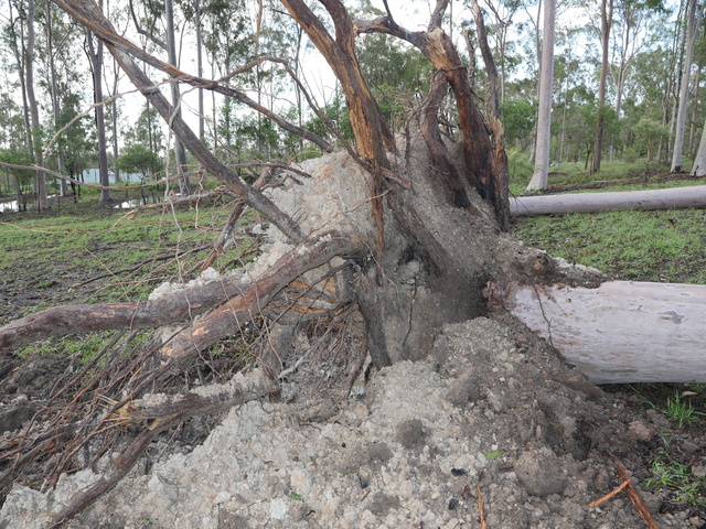
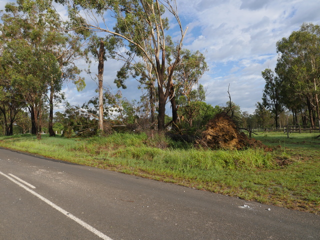
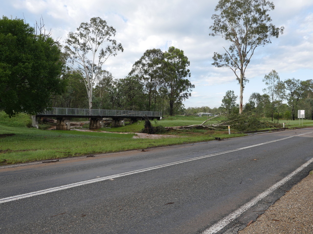
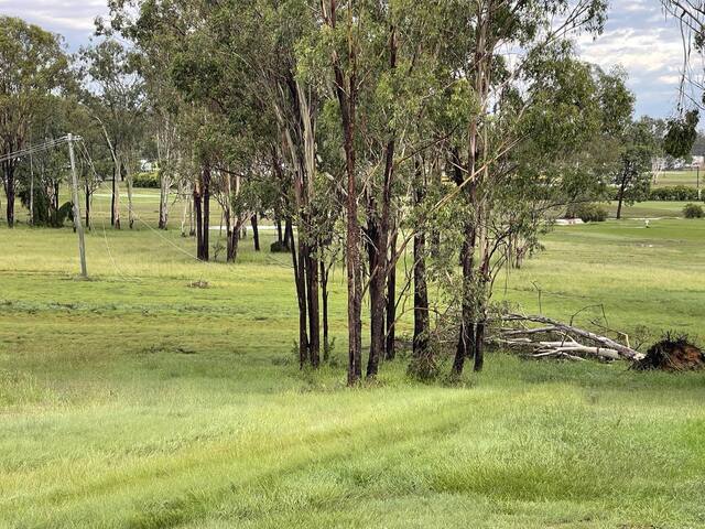
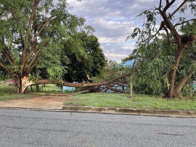
The storm hit the region after dark on Thursday, 9 January, uprooting trees and felling powerlines while also flooding out a number of roads.
POWER OUTAGES
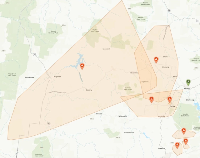
As of midnight on 10 January, 3,264 people had lost power to their homes, with the majority of those impacted living in the Wondai and Proston areas.
By 9am, Ergon Energy crews had managed to restore power to over half of those affected, but 1,275 – mostly around Wondai – are still in the dark as of writing.
ROAD CLOSURES
Residents of Wondai and Coolabunia reported hail during last night’s storm, and community forums on Facebook were flooded with claims that roads at Wondai, Nanango, Kingaroy, Silverleaf and Chelmsford were either inundated or blocked by trees, powerlines or debris.
The blocked-off roads included the D’Aguilar Highway at Coolabunia, Nanango and Wondai, and Kingaroy Barkers Creek Road at Kingaroy.
As of this morning, the South Burnett Regional Council reports 12 roads are closed as a result of the 9 January storm; a full list will be featured below.
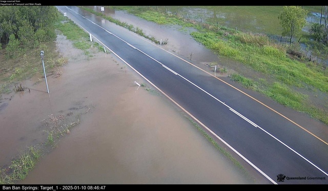
In the North Burnett, council did not record any new road closures, but flood camera images of the Burnett Highway at Ban Ban Springs show water encroaching on the roadway as of 9am.
WIND SPEED AND RAIN
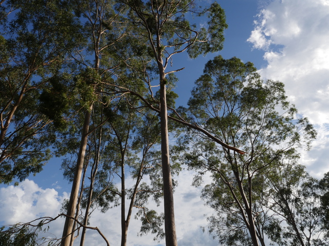
The Bureau of Meteorology does not operate an observation post at Wondai, where heavy winds uprooted gum trees upwards of 30 metres in height.
At Kingaroy, where the Bureau has recorded information on last night’s storm, wind speeds reached 37 kilometres an hour, meaning Wondai and surrounds likely experienced much fiercer gusts.
Likewise, the Bureau’s Kingaroy station only recorded 23 millimetres of rain, whereas Wondai residents have told Burnett Today their rain gauges measured downpours exceeding 100mm in less than an hour.
RIVER AND DAM LEVELS
The region’s river and dam levels are largely stable as of this morning, with only select sections of the Barambah, Barker and Three Moon Creeks as well as the Stuart River rising.
The only Sunwater infrastructure to have seen an increase in capacity following last night’s storm was Silverleaf Weir, whose level spiked from around 128 per cent on the afternoon of 9 January to 182.69 per cent as of the following morning.
According to Sunwater data, Silverleaf Weir now contains 1,060 megalitres of water, with a current flow rate of over 10,800ML.
WATER RESCUE
Last night’s storm almost spelled disaster for two people whose cars were caught in floodwaters on Malar Road at Booie.
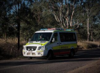
The Queensland Ambulance Service reported paramedics were called to the flooded road at 8:28pm, finding the drivers of both cars uninjured.
The Queensland Fire Department and police remind motorists to avoid flooded roads and never venture into floodwater.
A list of closed roads in the South Burnett follows:
Inverlaw: Kingaroy Burrandowan Road – Flooding – All lanes affected, Proceed with caution – current as of 10/01/2025 9:24 am
Cushnie: Chinchilla Wondai Road – Flooding – All lanes affected, Proceed with caution – current as of 10/01/2025 9:24 am
Wheatlands: Byee Road – Flooding – Road closed to all traffic – current as of 10/01/2025 5:33 am
Chelmsford: Wondai Proston Road – Flooding – Road closed to all traffic Use alternative route – current as of 10/01/2025 5:26 am
Booie: Kingaroy Barkers Creek Road – Hazard – All lanes affected, Proceed with caution – current as of 10/01/2025 5:04 am
Wilkesdale: Memerambi Gordonbrook Road – Hazard – All lanes affected, Proceed with caution – current as of 09/01/2025 8:23 pm
Silverleaf: Silverleaf Road – Flooding – Road closed to through traffic – current as of 10/01/2025 08:03 am
Brooklands: Darley Crossing Road – Flooding – Road closed to all traffic – current as of 10/01/2025 09:54 am
Wheatlands: Mondure Wheatlands Road – Flooding – All lanes affected, Observe signage – current as of 10/01/2025 09:51 am
Nanango: Brown Street – Flooding – Road closed to all traffic – current as of 10/01/2025 09:47
Sandy Ridges: Robin and Lee Road – Flooding – Road closed to all traffic – current as of 10/01/2025 09:44 am
Ficks Crossing: Kangaroo Yard Road – Flooding – All lanes affected – current as of 10/01/2025 09:43 am

